Tracie Harrison
Course: Meteorology 1010-400
Instrutor: George Ramjoue
Date: July 5, 2014
WEATHER FORECASTING
Map issued 19:29Z on July 2, 2014 until 12:00Z Friday July 4, 2014
City: West Yellowstone, Montana, Station number KWYS
Airport Station: MT WEST YELLOWSTONE ICAO: KWYS IATA: WYS
Lat: 44 40N / Long:111 07W 2025 X W 8 US
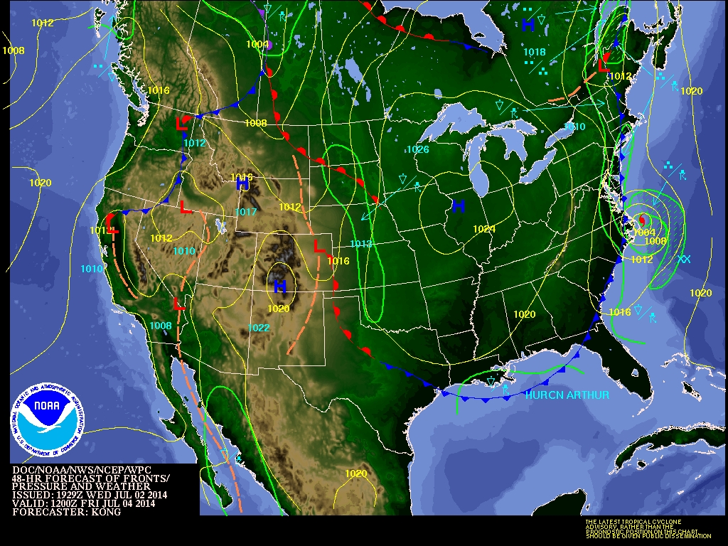
Map interpretation
Isobars located over Montana are space 4 millibar interval at 1012 and 1008 representing the pressure.
A low pressure front air mass is moving from the Canadian and upper United States west coast towards a high pressure front settled over Idaho, Utah, Montana and Wyoming. As the colder low front moves more rapidly than the warm front, I interpret they would meet over western Montana. Warm air would be lifted producing cumulonimbus clouds and possible rain showers for July 4th.
CONDITION 48 Hours Later
Interpretation of METAR report
Aviation Digital Data Service (ADDS):Output produced by METARs form (0005 UTC 05 July 2014) found at http://aviationweather.gov/adds/metars/KWYS 042350Z AUTO 22011G18KT 10SM CLR 28/03 A3016 RMK AO2
Airport is West Yellowstone, MT042350Z= Date 04th day at 2350 hours Zulu,
22011= Wind Direction 22 at speed 11 knots. 10SM= Visibility 10 Statute Miles.
CLR= Clear sky 28/03= Temperature 28 C dew point 3C
A3016= Altimeter is 30.16mm HG RMK= RemarksA02= Automated site with precipitation meter.
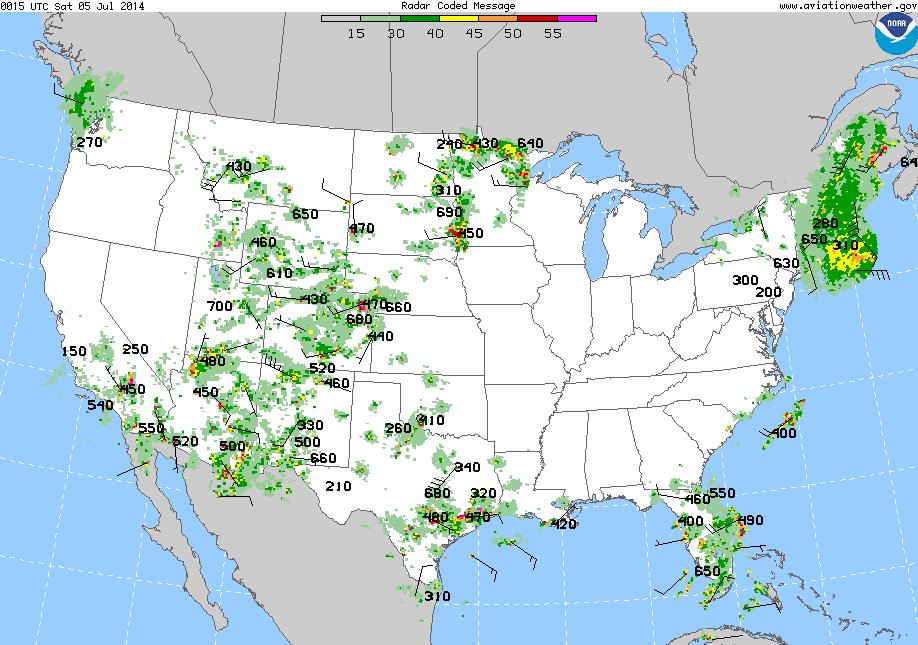
Doppler Rader Image
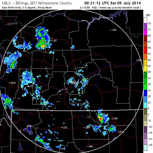
Precipitation values on July 4, 2014, were between 0.1 to isolated 4.0 inches was recorded as predicted by NWS.
Source: http://water.weather.gov/images/spacer.gif